 Geographic Information System (GIS) is a system designed to capture, store, analyze, manage, and present all types of geographical data. This system is valuable for the environment as it allows for the identification of hazardous locations which subsequently facilitates the introduction of solutions.
Since the Rift Valley faces many environmental hazards, this system proved valuable in mapping these hazards. To this end, Friends of the Earth Middle East “FoEME” has undertaken the task of educating local communities about GIS and training students in their respective local communities whether in Jordan, Palestine or Israel to navigate and use this system. The introduction of this technology and the creation of hazard maps enabled decision makers to safeguard clean water and eliminate contamination. It also served as a tool to promote peace and enhance cross border understanding as the problems of water have no boundary. Creating hazard maps raises local awareness about the environment and has the added value of enabling decision makers to make the best decision in this regard.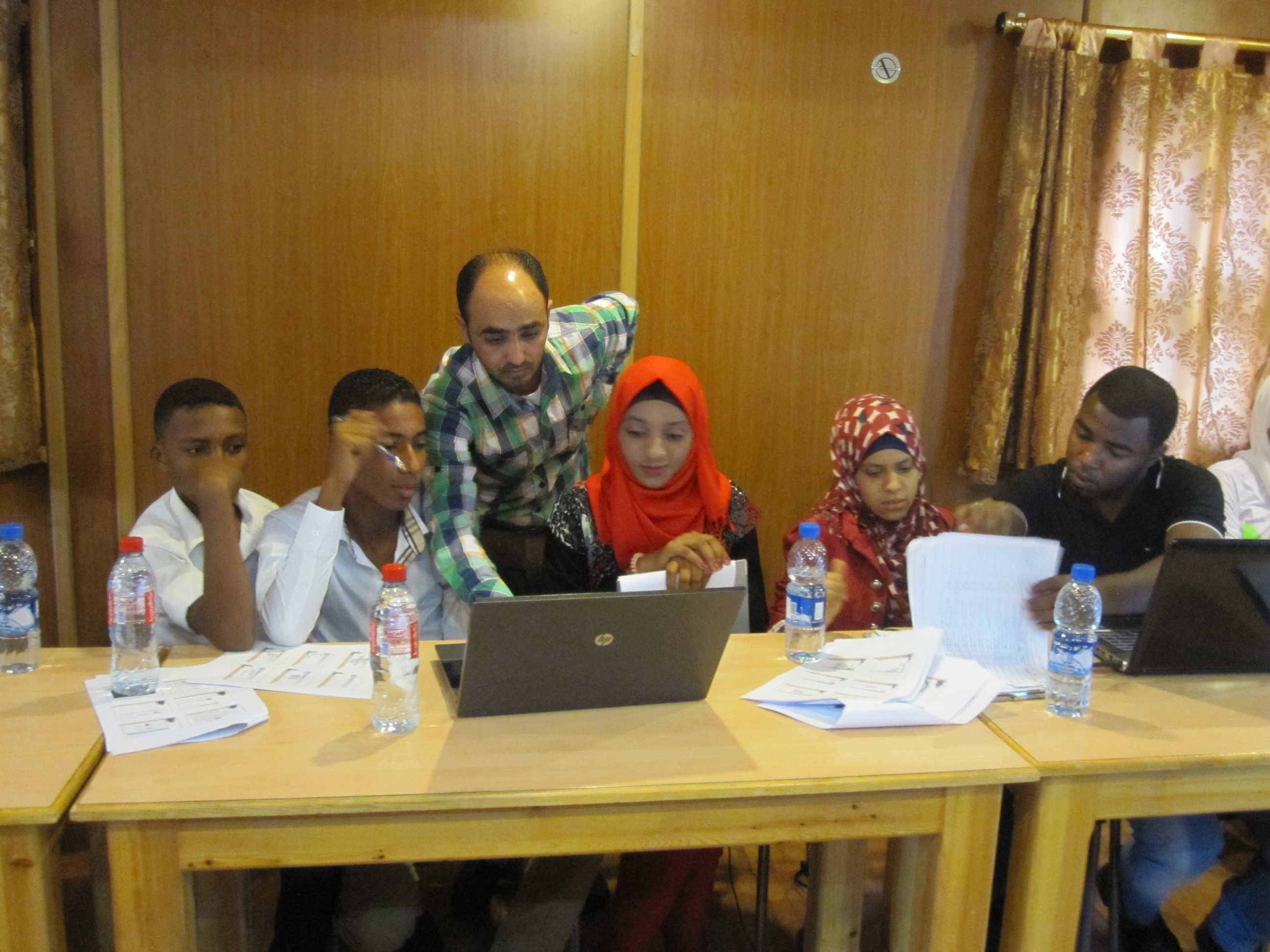
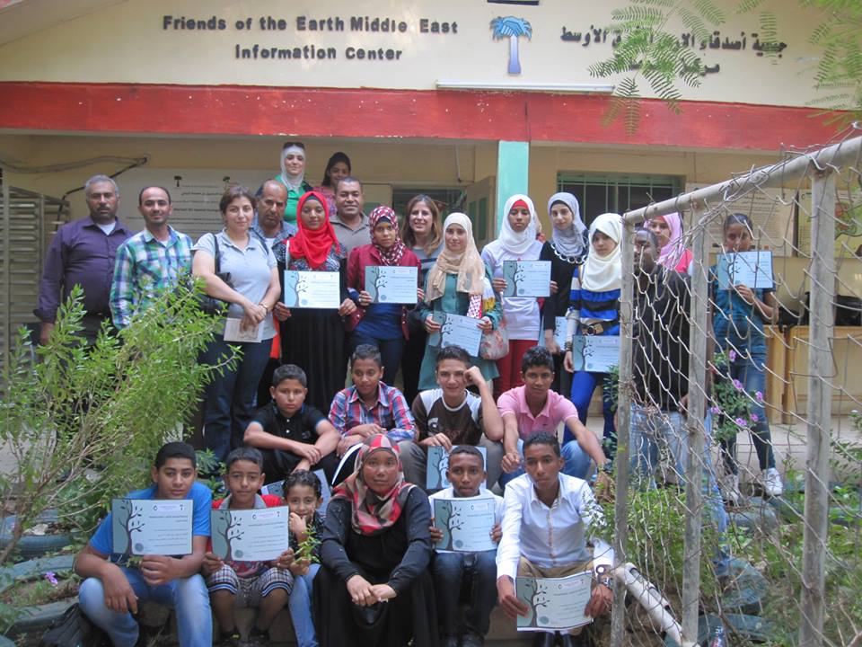
In Jordan, sixteen young students with ages ranging 14-16 participated in a GIS course designated for FoEME’s Youth Water Trustees within the framework of “Good Water Neighbors” Project.
The course, which was held over two sessions in Sharhabil Bin Hassneh Ecopark, on September 21st and 28th, 2013, gave the students the opportunity to develop new skills in understanding GIS and utilizing it for creating local environmental hazard maps for their own communities.
With the guidance of Jordanian Expert, Mr., Sai’d Abu Sneineh, who holds a Master degree in Environment and Water Resources, the students gained basic skills in identifying and categorizing environmental hazards, using GPS devices, conducting field tours and filling in questionnaires properly, documenting their findings with photos they have taken, and finally creating an informative environmental hazard map for their own community.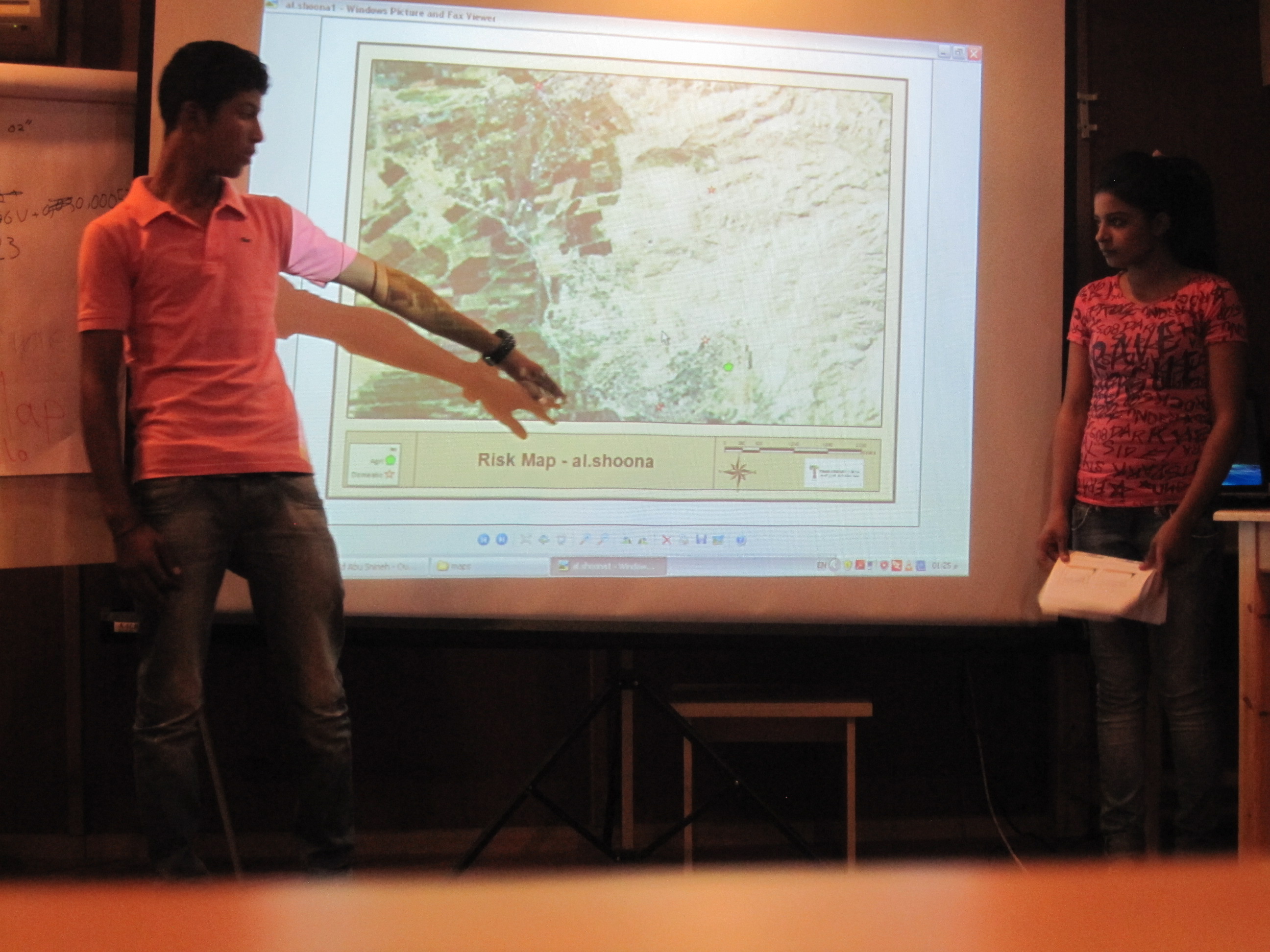
FoEME’s Good Water Neighbors Project Youth Coordinator Lisa Kawar said these maps were important tools for communities to lobby local authorities for greater environmental conservation activities.
“The work these students are doing with the hazard mapping is very important for their communities, because these maps can then be presented in front of decision makers in the local municipalities and relevant authorities, to demonstrate not just where the environmental hazards are, but also give suggestions of what needs to be done in order to avoid further damage to groundwater and ecosystems,” according to Ms., Kawar, “it’s not only about learning, but also about leadership, activism, and empowering youth to lead for a positive change, each in his own community” she added.
At the end, certificates were handed out in appreciation for the students’ hard work and contribution to their communities.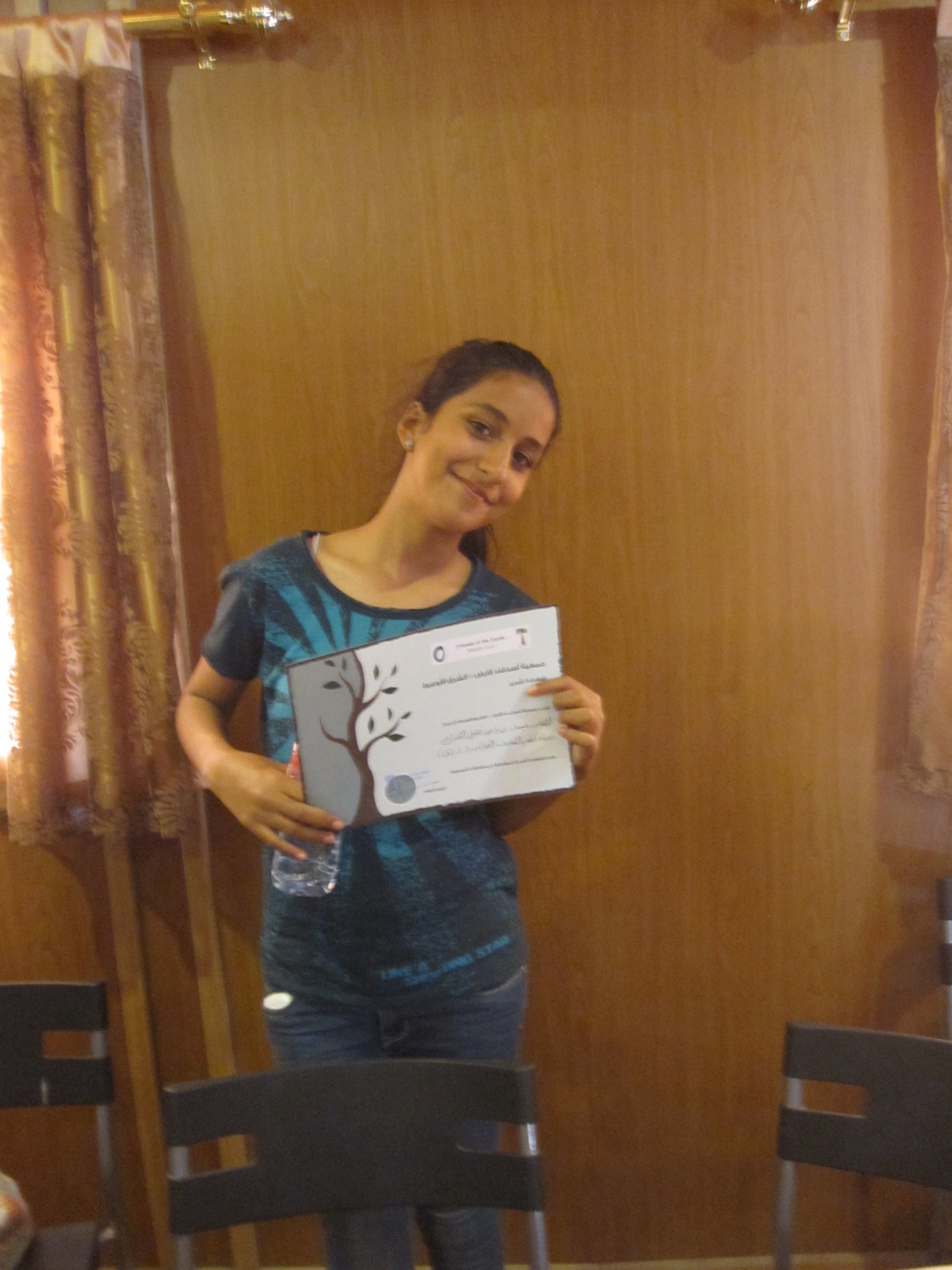
This post is contributed by FoEME’s Media Officer and Project Coordinator Samar M. Salma in Collaboration with Lisa Kawar, FoEME’s GWN Youth Project Coordinator.